| TMS: 087-00-02-087 Owner Information:
Owner Occupied Property: No Homestead Exempt (Age 65+ or Disability): No | Council District: C6 Fire District: F07 Tax District: T03 TIS Zone: 3 Jurisdiction: 1P Acres: 0.00 Lots: 1.0 |
Neighborhood: D250 - MACEDONIA - BONNEAU AREA Appraiser ID: DP Lot: Block: Section: Zoning: Berkeley County - Flex1 Parent TMS: 087-00-02-030 Notes:LAND SALE 07/97 MOVED MH 26646 TO THIS PARCEL FROM 087-00-02-030 SPLITS 97. NO CHANGE 08/98 REASSESSMENT MH 26446 NO LONGER ON PROPERTY/29339 IS HERE 03/00 NO CHANGES REASSESSMENT 2004 12/02 CHANGED LOT VALUES REASSESSMENT 2004 TH VACANT LAND SALES-OK 6/07 |
| Site addresses: | ||||||||||||||||||||||||||||||||||||||||||||||||||||||||||||||||||||||||||||||||||||||||||||||||||||||||||||||||||||||||||||||||||||||||||||||||||||||||||||||||||||||||||
|---|---|---|---|---|---|---|---|---|---|---|---|---|---|---|---|---|---|---|---|---|---|---|---|---|---|---|---|---|---|---|---|---|---|---|---|---|---|---|---|---|---|---|---|---|---|---|---|---|---|---|---|---|---|---|---|---|---|---|---|---|---|---|---|---|---|---|---|---|---|---|---|---|---|---|---|---|---|---|---|---|---|---|---|---|---|---|---|---|---|---|---|---|---|---|---|---|---|---|---|---|---|---|---|---|---|---|---|---|---|---|---|---|---|---|---|---|---|---|---|---|---|---|---|---|---|---|---|---|---|---|---|---|---|---|---|---|---|---|---|---|---|---|---|---|---|---|---|---|---|---|---|---|---|---|---|---|---|---|---|---|---|---|---|---|---|---|---|---|---|---|
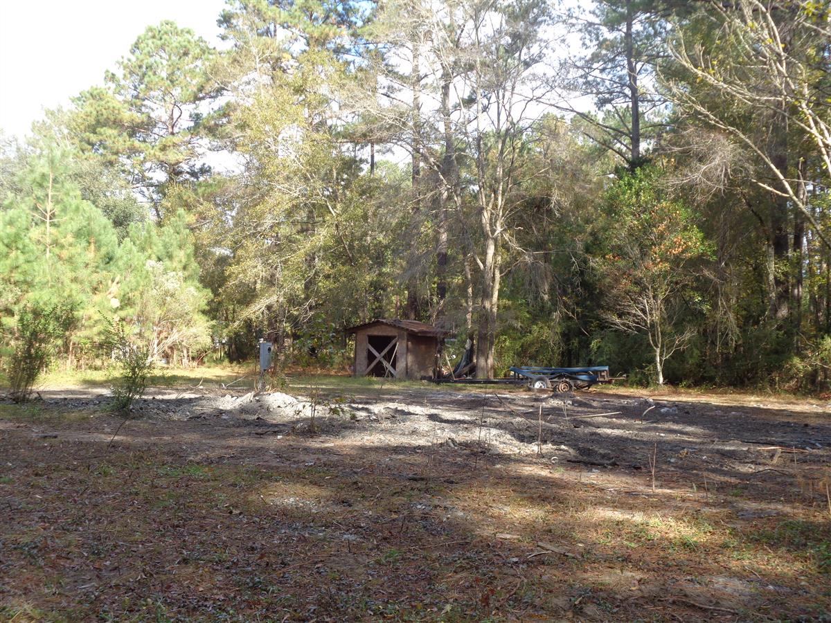
| 125 RANDY LN BONNEAU, SC 29431, Unit/Lot: | ||||||||||||||||||||||||||||||||||||||||||||||||||||||||||||||||||||||||||||||||||||||||||||||||||||||||||||||||||||||||||||||||||||||||||||||||||||||||||||||||||||||||||
| Owner: POTTER DAVID | Sale Date: 01/17/2023 | Sale Price: $7,000.00 | Deed Book-Page: 4464 - 639 | Plat: CAB M - 246D | Transfer Notes: |
| Owner: POTTER DAVID & CHRISTINA SURVIVORSHIP , | Sale Date: 03/24/2009 | Sale Price: $1.00 | Deed Book-Page: 7834 - 108 | Plat: | Transfer Notes: |
| Owner: POTTER JAMIE LLOYD & C | Sale Date: 10/22/2007 | Sale Price: $5.00 | Deed Book-Page: 7102 - 0216 | Plat: CAB M - 246 | Transfer Notes: 1.0 LT Recorded on Plat CAB M - 246 |
| Owner: CAMPBELL KEVIN (QUITCL | Sale Date: 06/01/2007 | Sale Price: $12,000.00 | Deed Book-Page: 6625 - 0113 | Plat: CAB M - 246 | Transfer Notes: 1.0 LT Recorded on Plat CAB M - 246 |
| Owner: DUBOSE MAGGIE | Sale Date: 04/11/1997 | Sale Price: $2,000.00 | Deed Book-Page: 1047 - 0284 | Plat: CAB M - 246 | Transfer Notes: 1.0 LT Recorded on Plat CAB M - 246 |
| Tax Year | Receipt # | Tax District | Original Total | Total With Penalties (if applicable) | Pay Date | Pay Type | Delinquent | Taxed Value | Owner Occupied (4% QR Rate) |
|---|---|---|---|---|---|---|---|---|---|
| 2023 | 0092881 | 3 | $236.27 | $236.27 | 10/18/2023 | Paid | No | $16,100 | No |
| 2022 | 0083109 | 3 | $249.94 | $274.93 | 02/14/2023 | Paid | No | $16,100 | No |
| 2021 | 0080076 | 3 | $251.98 | $434.78 | 10/24/2022 | Landsale | Yes | $16,100 | No |
| 2020 | 0082669 | 3 | $253.03 | $290.98 | 11/16/2021 | Paid | Yes | $16,100 | No |
| 2019 | 0080937 | 3 | $252.45 | $410.32 | 11/17/2020 | Landsale | Yes | $16,100 | No |
| 2018 | 0079384 | 3 | $231.79 | $316.56 | 09/25/2019 | Paid | Yes | $14,000 | No |
| 2017 | 0077687 | 3 | $231.83 | $386.60 | 10/15/2018 | Paid | Yes | $14,000 | No |
| 2016 | 0075462 | 3 | $234.11 | $319.23 | 09/26/2017 | Paid | Yes | $14,000 | No |
| 2015 | 0075186 | 3 | $54.70 | $112.91 | 10/12/2016 | Paid | Yes | $14,000 | Yes |
| 2014 | 0201249 | 3 | $54.02 | $112.12 | 10/09/2015 | Paid | Yes | $14,000 | Yes |
| 2013 | 0903037 | 3 | $53.02 | $90.97 | 10/27/2014 | Paid | Yes | $14,000 | Yes |
| Last Sale Date: 01/17/2023 Recording Date: 01/23/2023 Sale Price: $7000.00 | Plat Information: CAB M - 246D Deed Book: 4464 Deed Page: 639 | Sales Validity: 0A Validity Other: |
| Building Market: 0 Land Market: 17,300 | Building Taxable (4% Res): 0 Building Taxable (6% Other): 0 Building Taxable (4% Ag): 0 Building Taxable (6% Ag): 0 | Land Taxable (4% Res): 0 Land Taxable (6% Other): 16,100 Land Taxable (4% Ag): 0 Land Taxable (6% Ag): 0 |
| Total Taxable Value: 16,100 Total Assessment: 970 | ||
| Fee Name | Fee Amount |
|---|---|
| Acreage Fire Fee | 10 |
| Building Count: 0 Residence Count: 0 | Yard Item Count: 0 Mobile Homes on Property: 0 |