| TMS: 092-00-00-025 Owner Information:
Owner Occupied Property: No Homestead Exempt (Age 65+ or Disability): No | Council District: C8 Fire District: F08 Tax District: T02 TIS Zone: 3 Jurisdiction: 1P Acres: 0.00 Lots: 1.0 |
Neighborhood: D041 - ALVIN (SOUTHERN AREA) Appraiser ID: DP Lot: Block: Section: Zoning: Berkeley County - Flex1 Parent TMS: Notes:SOLD .25 ACRES TO JAMES W SMITH RECALCULATED SQ FT ON RES AND REAPPRAISED PARCEL/ PARCEL WL 6/12/91 ABOVE DEEDS CALLED FO 0.50 AC HOWEVER SINCE 0.25 AC WAS SOLD ONLY 0.25 AC REMAINS IN THIS PARCEL CASE NO 90-ES-08-365 NO CHANGE 04/98 REASSESSMENT REMOVED DEPR REASSESSMENT 2004 TH 5/03 |
| Site addresses: | ||||||||||||||||||||||||||||||||||||||||||||||||||||||||||||||||||||||||||||||||||||||||||||||||||||||||||||||||||||||||||||||||||||||||||||||||||||||||||||||||||||||||||||||||||||||||||||||||||||||
|---|---|---|---|---|---|---|---|---|---|---|---|---|---|---|---|---|---|---|---|---|---|---|---|---|---|---|---|---|---|---|---|---|---|---|---|---|---|---|---|---|---|---|---|---|---|---|---|---|---|---|---|---|---|---|---|---|---|---|---|---|---|---|---|---|---|---|---|---|---|---|---|---|---|---|---|---|---|---|---|---|---|---|---|---|---|---|---|---|---|---|---|---|---|---|---|---|---|---|---|---|---|---|---|---|---|---|---|---|---|---|---|---|---|---|---|---|---|---|---|---|---|---|---|---|---|---|---|---|---|---|---|---|---|---|---|---|---|---|---|---|---|---|---|---|---|---|---|---|---|---|---|---|---|---|---|---|---|---|---|---|---|---|---|---|---|---|---|---|---|---|---|---|---|---|---|---|---|---|---|---|---|---|---|---|---|---|---|---|---|---|---|---|---|---|---|---|---|---|
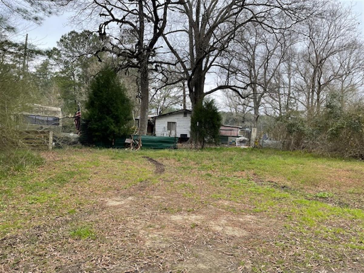
| 1496 FRENCH SANTEE RD JAMESTOWN, SC 29453, Unit/Lot: | ||||||||||||||||||||||||||||||||||||||||||||||||||||||||||||||||||||||||||||||||||||||||||||||||||||||||||||||||||||||||||||||||||||||||||||||||||||||||||||||||||||||||||||||||||||||||||||||||||||||
| Owner: MATHIS JOAN S ETAL | Sale Date: 02/17/2016 | Sale Price: $0.00 | Deed Book-Page: 4021 - 110 | Plat: | Transfer Notes: |
| Owner: MOORE CHRISTY J & MELISSA ANN | Sale Date: 12/09/1998 | Sale Price: $0.00 | Deed Book-Page: 1505 - 0102 | Plat: | Transfer Notes: 1.0 LT |
| Owner: SMITH MAZIE (DEED DIST) | Sale Date: 10/29/1998 | Sale Price: $0.00 | Deed Book-Page: 1470 - 0046 | Plat: | Transfer Notes: 1.0 LT |
| Owner: SMITH JERRY DONALD | Sale Date: 05/11/1992 | Sale Price: $1.00 | Deed Book-Page: 0096 - 0003 | Plat: | Transfer Notes: |
| Owner: SMITH JOE C ESTATE OF | Sale Date: 03/26/1992 | Sale Price: $0.00 | Deed Book-Page: 0086 - 0181 | Plat: | Transfer Notes: .50 |
| Owner: CARTER DAVID | Sale Date: 11/16/1962 | Sale Price: $300.00 | Deed Book-Page: A151 - 0096 | Plat: | Transfer Notes: |
| Tax Year | Receipt # | Tax District | Original Total | Total With Penalties (if applicable) | Pay Date | Pay Type | Delinquent | Taxed Value | Owner Occupied (4% QR Rate) |
|---|---|---|---|---|---|---|---|---|---|
| 2023 | 0115580 | 2 | $495.40 | $495.40 | 10/16/2023 | Paid | No | $20,700 | No |
| 2022 | 0105166 | 2 | $508.13 | $556.45 | 10/16/2023 | Paid | Yes | $20,700 | No |
| 2021 | 0066392 | 2 | $510.76 | $704.47 | 10/24/2022 | Landsale | Yes | $20,700 | No |
| 2020 | 0068821 | 2 | $512.11 | $681.03 | 12/06/2021 | Landsale | Yes | $20,700 | No |
| 2019 | 0067401 | 2 | $511.36 | $560.16 | 10/22/2020 | Paid | Yes | $20,700 | No |
| 2018 | 0066226 | 2 | $484.01 | $648.71 | 10/21/2019 | Landsale | Yes | $18,000 | No |
| 2017 | 0064712 | 2 | $484.07 | $528.78 | 10/23/2018 | Paid | Yes | $18,000 | No |
| 2016 | 0062927 | 2 | $487.00 | $652.15 | 10/23/2017 | Landsale | Yes | $18,000 | No |
| 2015 | 0062910 | 2 | $471.82 | $514.69 | 11/14/2016 | Paid | Yes | $18,000 | No |
| 2014 | 0061575 | 2 | $447.58 | $607.57 | 11/16/2015 | Landsale | Yes | $18,000 | No |
| 2013 | 0060541 | 2 | $238.96 | $273.30 | 10/10/2014 | Paid | Yes | $15,600 | No |
| Last Sale Date: 02/17/2016 Recording Date: 10/25/2021 Sale Price: $.00 | Plat Information: Deed Book: 4021 Deed Page: 110 | Sales Validity: 9 Validity Other: 9N |
| Building Market: 10,000 Land Market: 14,000 | Building Taxable (4% Res): 0 Building Taxable (6% Other): 8,610 Building Taxable (4% Ag): 0 Building Taxable (6% Ag): 0 | Land Taxable (4% Res): 0 Land Taxable (6% Other): 12,054 Land Taxable (4% Ag): 0 Land Taxable (6% Ag): 0 |
| Total Taxable Value: 20,664 Total Assessment: 1,250 | ||
| Fee Name | Fee Amount |
|---|---|
| Land Fill Fee | 75 |
| Stormwater Utility Fee | 36 |
| Fire Fee | 80 |
| Building Count: 1 Residence Count: 0 | Yard Item Count: 1 Mobile Homes on Property: 0 |
| Sub Area | Sub Area Description | Sketched Area (SqFt) |
|---|---|---|
| AFFL | 1st Floor | 1080.0 |
| APOR | Porch | 96.0 |
| Building Total Finished SQFT: 1080.0 | ||
| Yard Item Name | CardNumber | Units |
|---|---|---|
| Shed | 1 | 96.00000 |